


JALBTCX Celebrates 25th Anniversary
December 14, 2023
Contact
Mobile District Office
Authored By:
Chuck Walker
MOBILE, Ala. – Teamwork in the form of agencies cooperating to engage in complex tasks is how the U.S. Army Corps of Engineers Mobile District is successful.
Looking at the history of the Joint Airborne Lidar Bathymetry Technical Center of Expertise (JALBTCX) is an example of continued partnerships in action.
Developed in 1996 as a collaboration between the U.S. Army Corps of Engineers South Atlantic Division and the Engineer Research and Development Center (ERDC), JALBTCX is a partnership among the USACE, the U.S. Navy, NOAA, and the United States Geological Survey, located at Stennis Airport in Kiln, Mississippi.
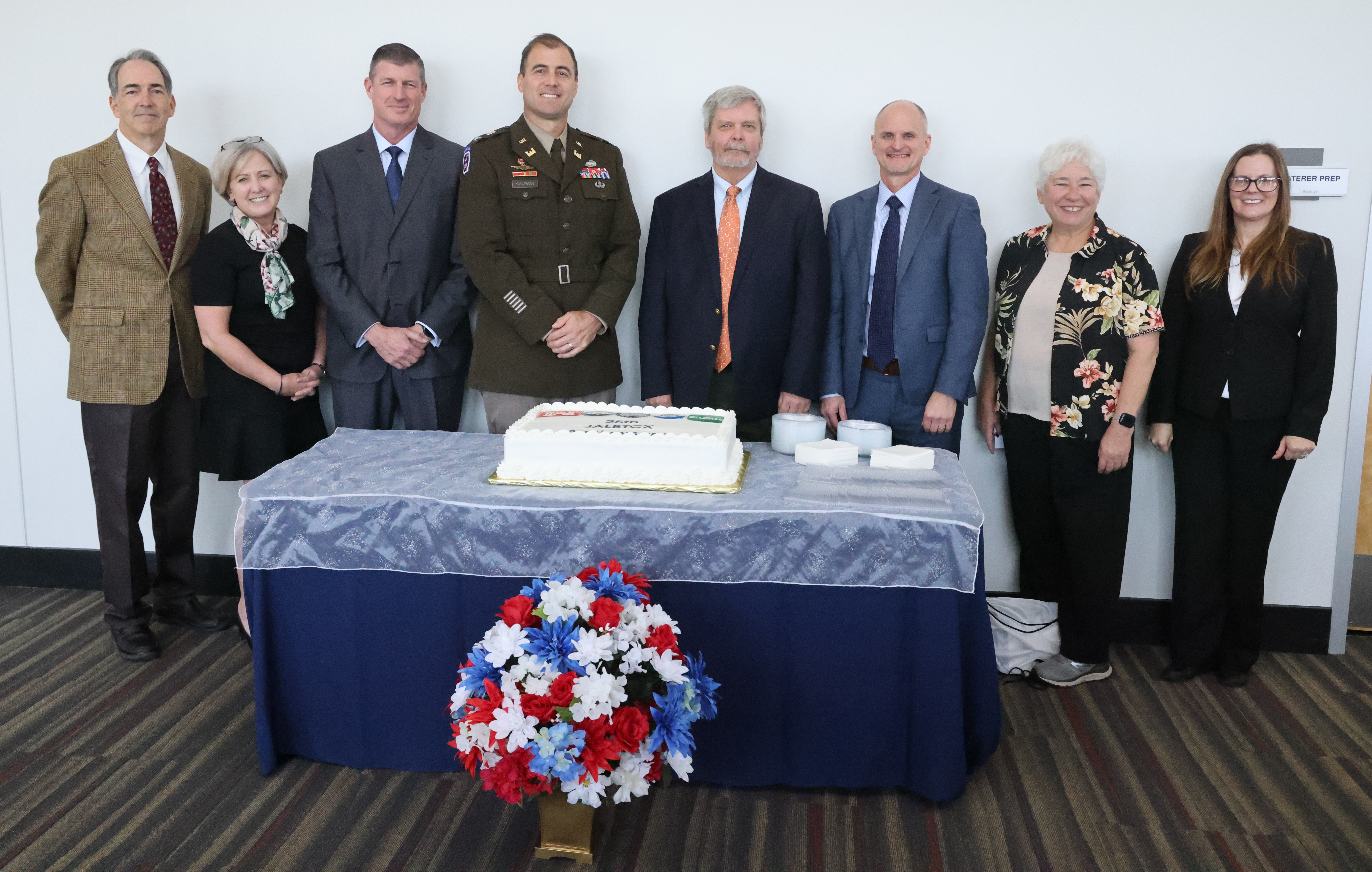
On Nov. 29, JALBTCX held its 25th Anniversary celebration at the Hancock County Performing Arts Center in Kiln, Mississippi.
The ceremony recognized JALBTCX’s significant accomplishments over the last 25 years, plus a look ahead to its bright future.
“Over the last 25 years, JALBTCX has transitioned and evolved a research and development capability in airborne lidar bathymetry (underwater coast mapping) into a key operational capability that supports engineering our Nation’s coasts for resilience, commercial and recreational navigation, and ecosystem restoration,” said Jennifer Wozencraft, JALBTCX Director. “We have increased our annual National coasting mapping coverage and built a huge government, industry, and academic community of practice that is laser-focused on further advancing airborne lidar bathymetry operations, research, and development to meet the ever-evolving challenges facing our Nation’s coastal communities.”
The center’s success over the last 25 years is second to none, one example being the Blue Book II in 2019. The Blue Book II was a partner-developed, community-validated bathymetric lidar specification. Blue Book II is a compendium of knowledge gained in airborne lidar bathymetry sensor design, testing, evaluation, signal processing, uncertainty estimation, and data exploitation for end-user requirements.
The Bathymetric lidar specification established a standard specification document that can be used to acquire data through contracts.
Chris Macon, JALBTCX technical lead for the coastal mapping team, said that the anniversary provided JALBTCX the opportunity to reflect on the past as a way of supplying and inspiring them to have a positive and bright outlook on the future.
“We spend most of our time in the ’now’ with delivering the program or looking forward to improving and incorporating new technology,” said Macon. “The anniversary had allowed both new and tenured staff to look back and see the path that was blazed. We shared stories about what once were painful processes that are now automated and barely known to the current users. We were able to hear about what were once just aspirations, and now have now become reality. Of course, this all culminated with another re-energized look to the future, knowing that we will overcome the problems of today and field the systems that are only in our thoughts.”
During the celebration, speakers included Col. Jeremy Chapman, USACE Mobile District Commander, Ty Wamsley ERDC Director, Wozencraft, JALBTCX Director, Jeff Lillycrop, former JALBTCX Director, Joan Pope, Vice President for Science and Technology, American Shore and Beach Preservation Association, Kevin Gallagher, Associate Director, U.S. Geological Survey, Rachael Dempsey, Deputy Assistant Administrator for Navigation, NOAA, and Admiral Ronald J. Piret, Commander Naval Meterology and Oceanography Command.
Wozencraft said that as JALBTCX reflects on its past and looks ahead to the future she sees more of everything in its future, and that it will be able to help everyone get the data they want and need to understand our coasts better.
“As we move into the next 25 years, we expect our collaboration to expand around more new airborne lidar bathymetry systems, more data collected more frequently, and more users than ever before,” Wozencraft said. “We want to make systems smaller, faster, and cheaper to operate while maintaining the high quality of data we are collecting now. And finally, we want to improve the usability of very valuable datasets for local community users to empower them to better understand the coasts on which they live.”